
When I started regular rail-trail riding early last year The Columbia Trail had been on my list for several weeks. I found it in the TrailLink app and finally set out to ride it last September (2019). In fact, so many rail trails showed up on my radar with Trail Link it was all I could do to get out and experience each one. There’s nothing like a new rail-trail experience where you’re saying out loud, “This is the best trail ever!” And I’ve been saying that on almost every new trail ride. If you don’t use Trail Link, it’s a must for any rail-trail enthusiast…or for any trail user for that matter. I might never have found the Columbia Trail and all the other rail-trails if not for the app. Now I have a lengthy list of trails to choose from every day of the week. You can also use the desktop version to plan your rides from your computer.
First, Some History
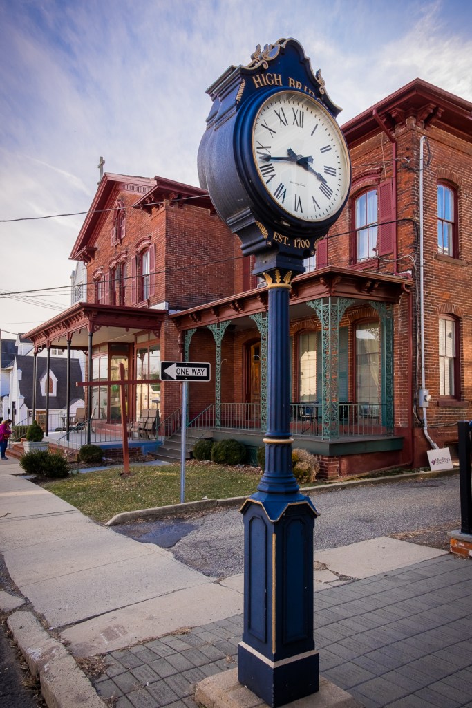
The Columbia Trail is unique among rail trails in that it is named for the Columbia Gas Transmission Corporation, which laid a gas pipeline under it in 1990, about 14 years after trains had stopped running on it. The line was originally the High Bridge Branch of the Central Railroad of New Jersey which operated for 100 years along this route from 1876 to 1976. The latter was the year Conrail was formed by the U.S. Government to consolidate the assets of the bankrupt railroads of the Northeast. The new entity must have decided (as they did with many of the old branch lines) that it was no longer economically viable and abandoned it; even freight traffic had surely slowed to a very low frequency by that time. Passenger service ceased in 1935, earlier than on most other branch lines I’ve researched. After the pipeline was laid the gas company donated an easement to Hunterdon and Morris counties for a recreational multi-use trail, and the Columbia Trail was born.
Gallery of High Bridge and The Trail

From High Bridge To Califon
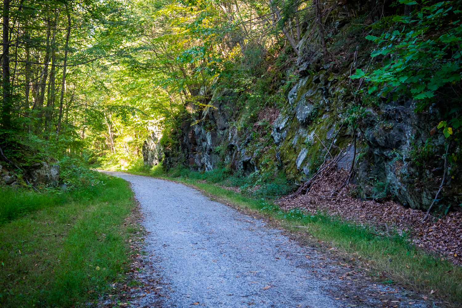
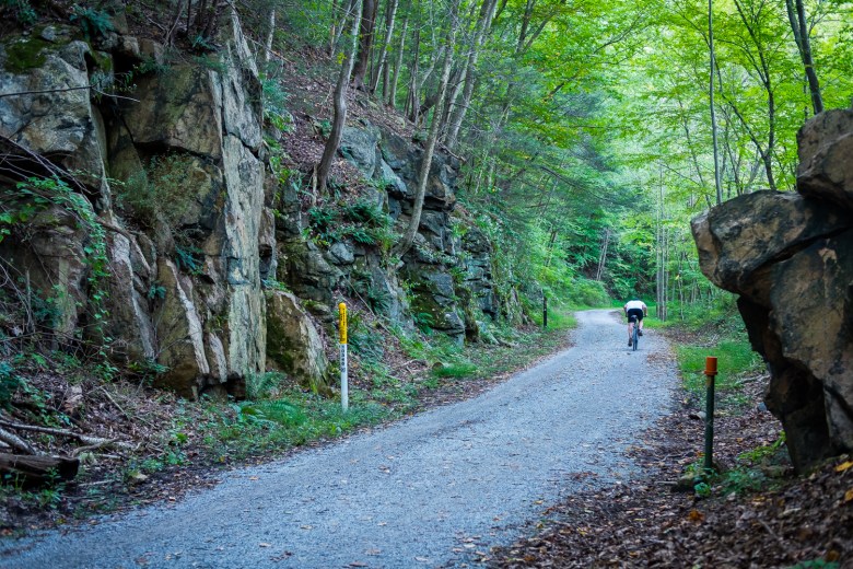
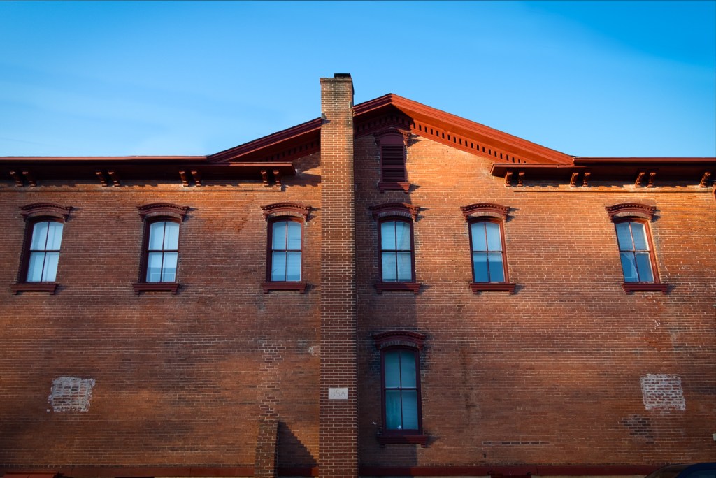
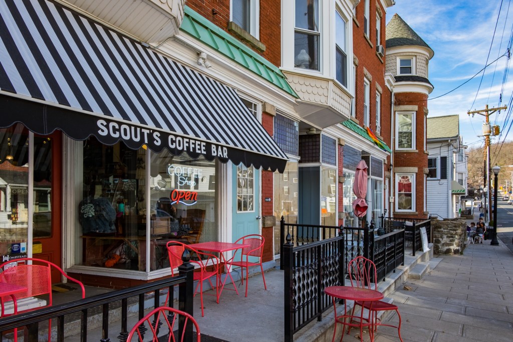
Since I live in Central New Jersey I like to start at the trail head in High Bridge, a quaint hamlet just a few minutes off of Route 31 near Clinton. Its name supposedly comes from a 112-foot-high railroad bridge that spanned the South Branch of The Raritan River just outside of town. Legend has it that it collapsed in the 1860s and was replaced by the earthen causeway that exists today. The terrain gets quite hilly in High Bridge, even mountainous, and it’s interesting to see the rows of Victorian houses and buildings clinging to to the hillsides along highly inclined streets. The beauty of a railroad, however, is that it transcends these steep slopes…so as you ride a rail-trail you glide along a virtually flat route through the hills and valleys. On this trail in particular it makes you marvel at the engineering accomplishment—even for 150 years ago—that affords such a level trail surface among the soaring peaks and deep gorges.
…you marvel at the engineering accomplishment that affords you such a level trail riding surface among the soaring peaks and deep gorges.
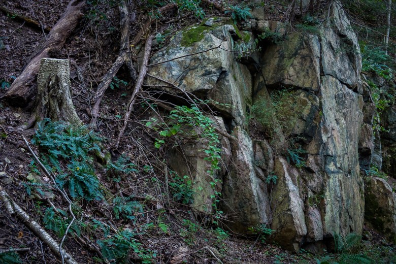
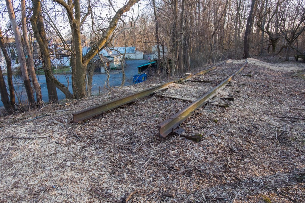
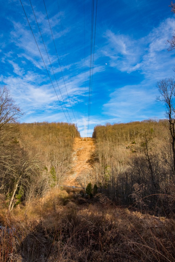
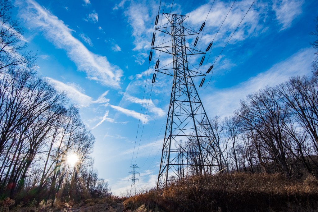
High Bridge actually has an active rail station that is the western terminus on NJ Transit’s Raritan Valley Line. Looking at Google Maps you can see that the High Bridge Branch once connected to it and the old tracks are still in place, curving along the parking lot of the trail head area. From the lot you’ll cross Main street (watch out, it’s heavily trafficked and slopes down into the center of town) and you’re off for a spectacular ride through forest and along a deep river gorge. You’ll watch from terrific heights as you gaze down at the South Branch of the Raritan River some 120 feet below, or up to mountainous peaks with electric transmission towers perched atop them. Large rock outcroppings abound and you’ll pass through suburban neighborhoods and by more secluded houses, most of which are restored historic residences.
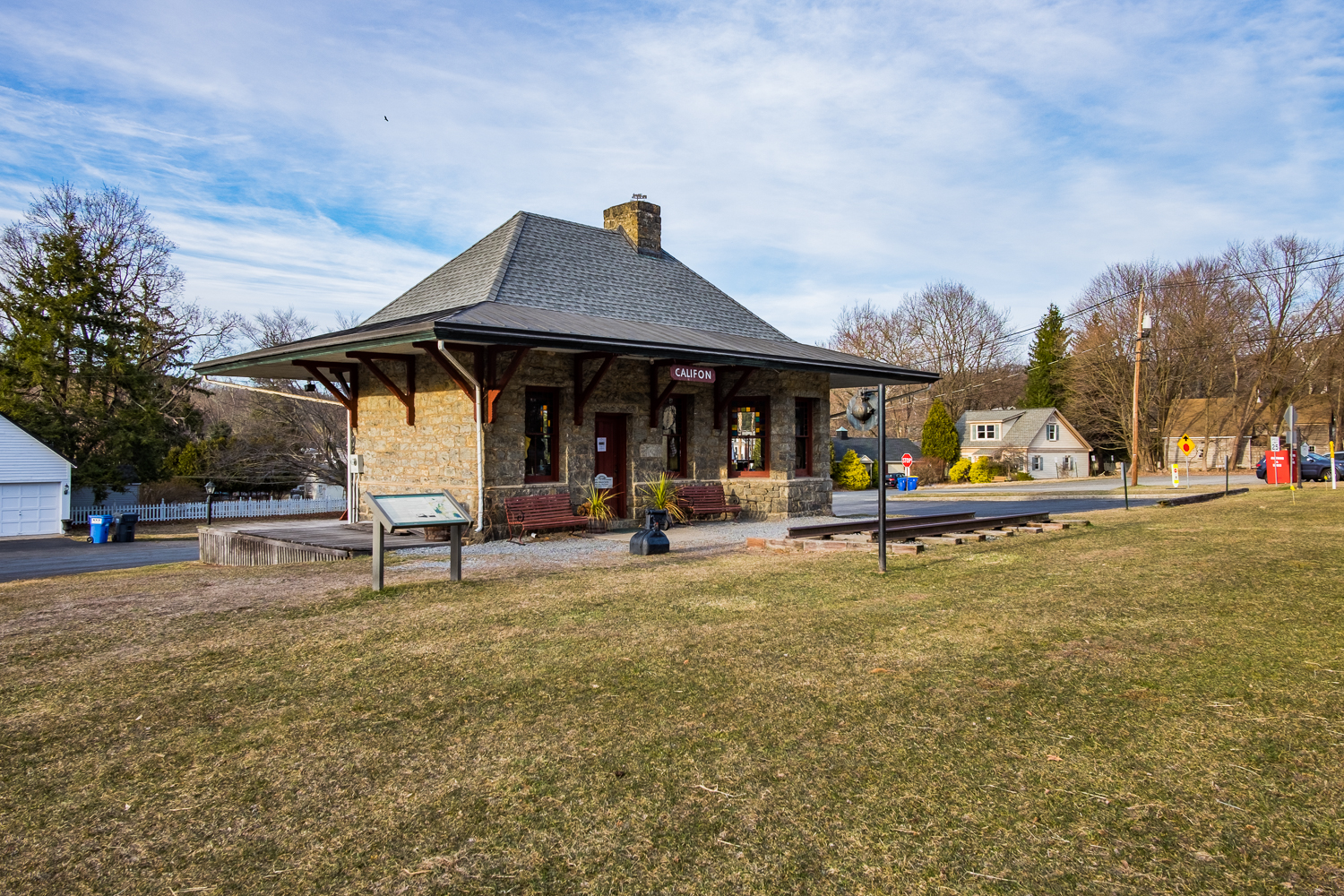
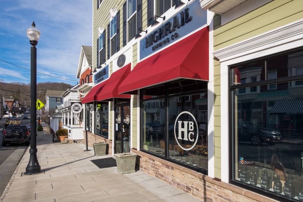
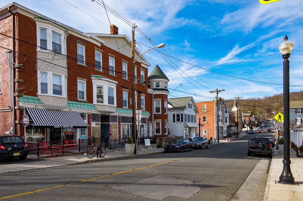
In 5-1/2 miles you’ll come to the small Victorian town of Califon. One story goes that the founder was a man who came back east from California and named the town after a modified version of that name. Some say he ran out of space while painting the the name on a sign and the name stuck…but neither is quite true. In fact, Califon was first called California, from local miller Jacob Neighbor’s enthusiasm for the California Gold Rush.
Gallery of Califon at the Train Depot
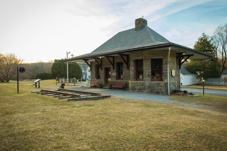
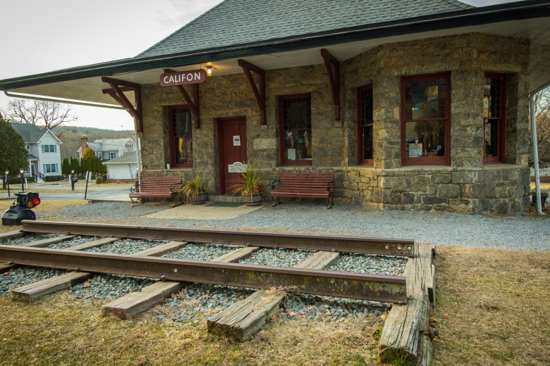
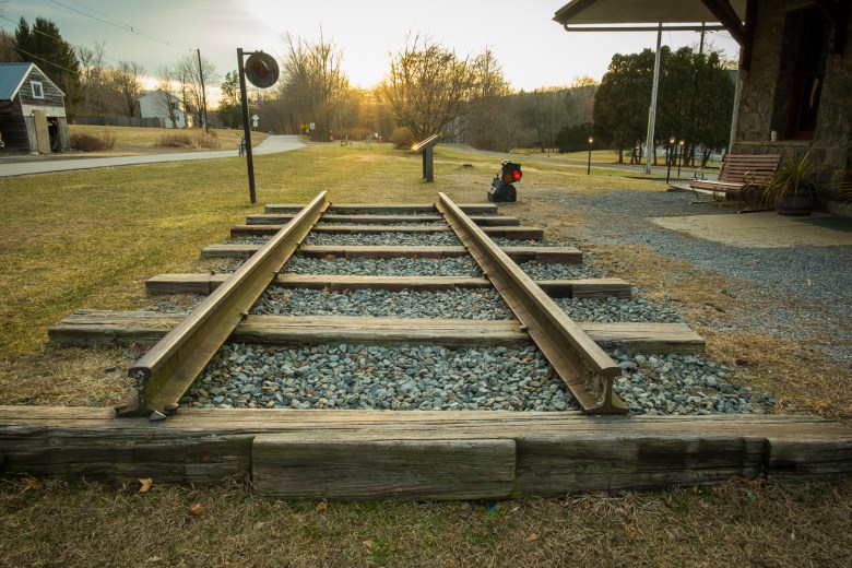
The old Califon rail station and immediate area
Movin’ On
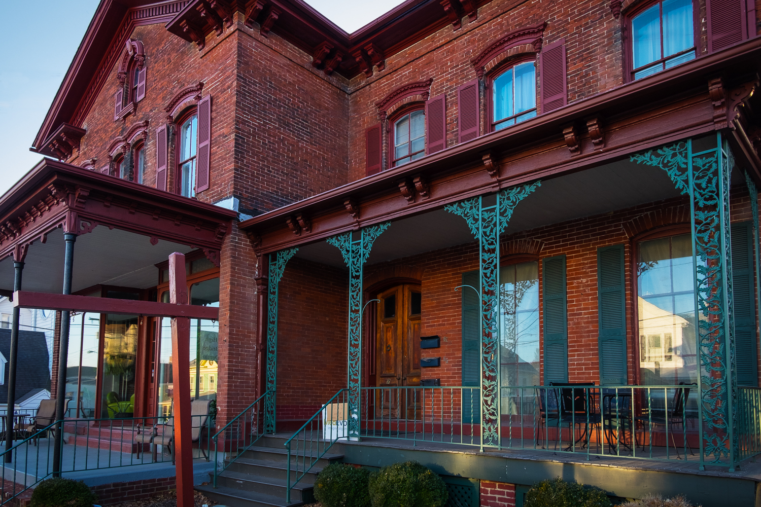
My next excursion plans for this trail include pushing on Eastward into neighboring Morris County. The Columbia Trail is 15 miles total and ends in Long Valley to the Northeast, so it’s a 30-mile roundtrip. My friend at Pop’s Bike Shop in Somerville, where I bought my Cannondale Adventure 3 last April, has made the entire trip. But first, I need to explore what Califon Borough’s website calls “a very walkable downtown” and see what that’s about. Hopefully there are lots of Victorian-era buildings lining Main Street. There, I’ll be adding to my photographs of historic small towns and more old railroad infrastructure. I love small Victorian towns like this but I missed the downtown section on this first visit as I was short on time. Next trip I’m going to stick around for a while and explore.
I highly recommend taking the ride from High Bridge to Califon on the Columbia Trail. It’s a perfect 10-mile rountrip (my usual ride length) and an incredibly scenic trek, especially along the Ken Lockwood Gorge with its steep drop to the South Branch of the Raritan River below. Less than a mile out of High Bridge you’ll also pass a connection to the Taylor Steel Worker’s Historical Greeneway and what look like equally scenic views. I need to check that out next time as well. All in all the Columbia Trail is an outing you won’t soon forget, with a nice length that can be taken in whatever segments you choose. If you’re an avid rail-trail rider like me, I’m sure you’ll be going back on a regular basis.

[…] day (about a week ago) but at the last minute I opted for a ride farther south. Heading for the Columbia Trail I instead made a turn that took me over Sourland Mountain toward Princeton and Lawrence. The […]
LikeLike